Samoan Technology business SkyEye founded a solution to help save money and resources in both the private and government sectors.
RNZI reports the company has so far saved the government tens of thousands of dollars through a GPS vehicle tracking device aimed at combatting company vehicle misuse.
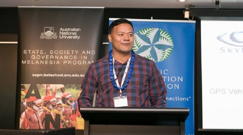
Their devices are on about 200 of the government's vehicles, and their managing director Christopher Saili said they were hoping to take their service across the region.
"We're wanting to be able to take our service across the region because we understand that a significant amount of money is being wasted through vehicle abuse," he said.
"You know, it's money that can be spent in development in other areas that is needed."
Mr Saili said they have already been able to demonstrate massive savings in the National Health Service in Samoa.
"First month of tracking I think they saved 30,000 tala," he explained. "You know, you replicate that over a year and you know, it's millions of dollars.
Helping governments to become more responsible and to understand exactly what they're spending was something Mr Saili was very passionate about.
"They don't actually know that. They don't have the tools to be able to see that."
Mr Saili said that in order for the technology to work, they had to map all of Samoa so they had location points to work from. They have now geo-coded American Samoa, Solomon Islands and are looking at doing Papua New Guinea next year.
"There's no addresses, there's no official kind of street names or letterboxes that sit outside your house so what we actually had to do was put a GPS unit in a vehicle and drive around with a tablet in our car," said Mr Saili.
"And we were able to verify the location by actually physically seeing the car arrive at a location. And that's how we were able to add the points of interest or geocode the country."
SkyEye is working towards geocoding the entire Pacific region to allow more effective use of GPS tracking systems for navigation.
Through the use of drones they have got more accurate numbers on plantation crops across the country, for the benefit of farmers, businesses and government planning.
Christopher Saili, Managing Director of SkyEye Photo: Pacific Cooperation Foundation